
Marowhara Track.
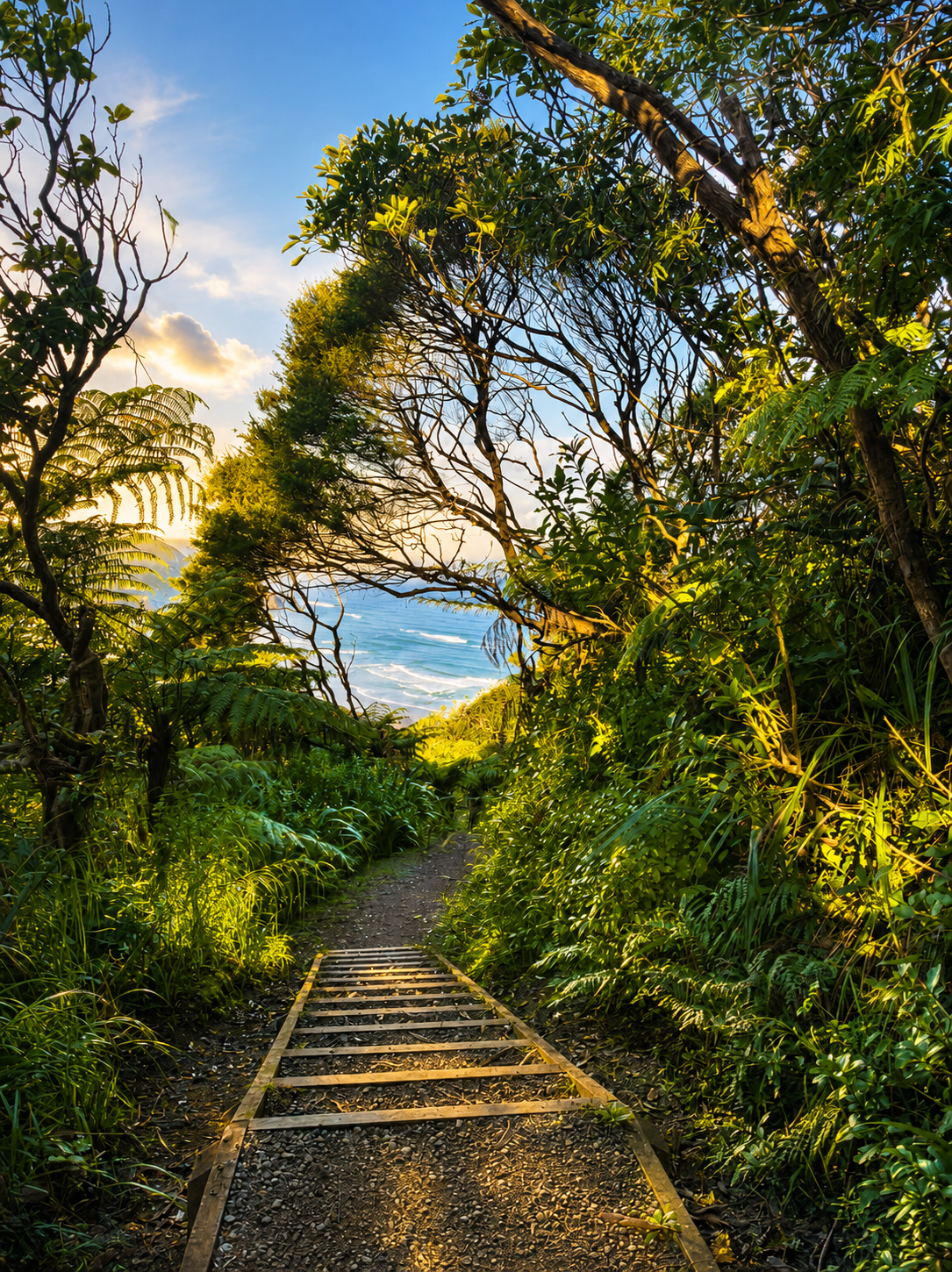
A newly completed and re-opened track that takes you up into the hills of Piha, with spectacular vistas.
About
The Marowhara Track is the proper bush walk at North Piha — and the one that surprises visitors who arrive expecting an easy stroll. It starts gently enough, with about ten minutes of flat, wide gravelled track through one of the best stands of nīkau palm forest on the Auckland coast. That stretch is the easy bit. After the stream crossing, the track climbs.
What follows is about 35 minutes of steady uphill walking through regenerating native bush, with substantial sections of stairs along the way. The climb earns the view — viewpoints open up as you gain elevation, with Piha Beach, Lion Rock, and the wider coast visible from several spots on the way up. The bush itself does much of the work. Pōhutukawa, ponga, pūriri, kawakawa, and the nīkau palms that give the lower section its character — all the native species you'd hope to see, in a stretch of forest that's been left to recover from its milling history.
The track has its own history. In the early 1900s, when timber milling was at its peak in the Waitākere Ranges, logs were hauled down the Marawhara Stream and transported by tramway to the mill at the junction of the Piha and Glen Esk streams. The track follows roughly that route, which is part of why it climbs the way it does — it's an old working route into the bush, not a leisure walk built for views.
For visitors building from the easier walks toward something more demanding, this is the natural next step after Kitekite Falls. The reward isn't a single destination like a waterfall — it's the elevated bush, the views opening up as you climb, and the experience of being properly inside the Waitākere Ranges rather than just walking through their edges.
The top of the track connects onward into the wider Waitākere network — to Anawhata Road, to Whites Beach, and to Te Waha Point for equipped walkers wanting a longer day. Worth knowing that sections of the wider network have ongoing closures for kauri dieback protection and storm recovery. The Laird Thomson Track in particular has been closed due to storm damage. Check Auckland Council's current track status before planning any onward walk.
The Maori spelling for Marawhara is Marowhara (note the o). You’ll find both spellings commonly used.
Trailhead:
187 Marine Parade North, Piha — at North Piha, near the North Piha Surf Club building. Parking at the surf club (with toilets) or by the bridge.
Connects to:
Anawhata Road, Whites Beach, Te Waha Point (for equipped walkers wanting longer onward walks)
Difficulty:
Moderate. Steady uphill climb. Lots of stairs.
Distance:
Around <4 km return.
Duration:
1 hour 15 mins for moderate.
Toilets:
United Surf Club or Mid Beach.
Surface:
Formed bush track with stairs; kauri dieback boot-cleaning stations at entry.
Highlights:
Nīkau palm forest at the start, regenerating bush, viewpoints over Piha Beach and Lion Rock, mature pōhutukawa.
Suitable for:
Kids 8 years + Families, reasonable fitness levels, dogs on leads.
Best for:
Visitors who've done Kitekite and want something more demanding, walkers wanting the bush experience properly, anyone wanting elevation and views.
Important Notes:
The first 10 minutes is easy and family-friendly. After that, the track climbs steadily with substantial stairs, and the difficulty steps up sharply. Decent shoes matter. Onward walks beyond the top of Marowhara enter the wider Waitākere network, where closures for kauri protection and storm recovery are ongoing — including the Laird Thomson Track. Check Auckland Council's track status before any onward walk.
On this walk the first new bridge crosses the Marowhara stream and the next crossing where you jump on or over rocks is the Whakatai stream. This is the one devastated by the huge slippage caused by cyclone Gabrielle.
The Maungaroa walk crosses the Piha/Waitekahu or Wai o Kahu. That walk proceeds up to the ridge on the north side / true right of the stream.
